DJI D-RTK 3 Multifunctional Station
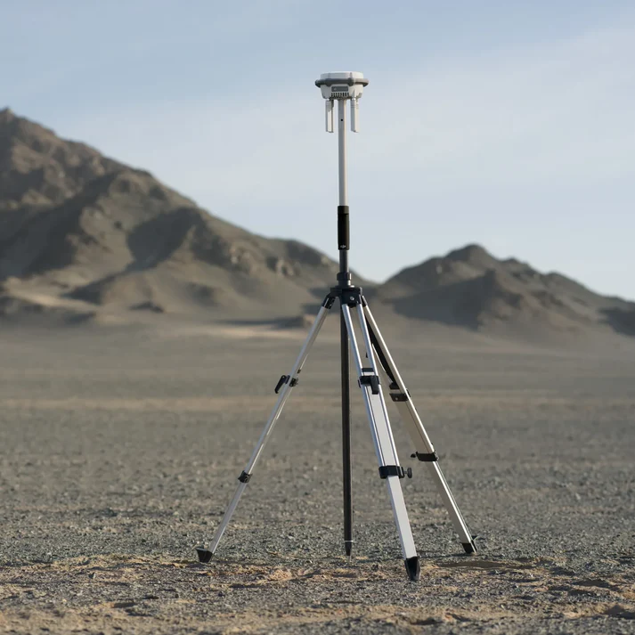
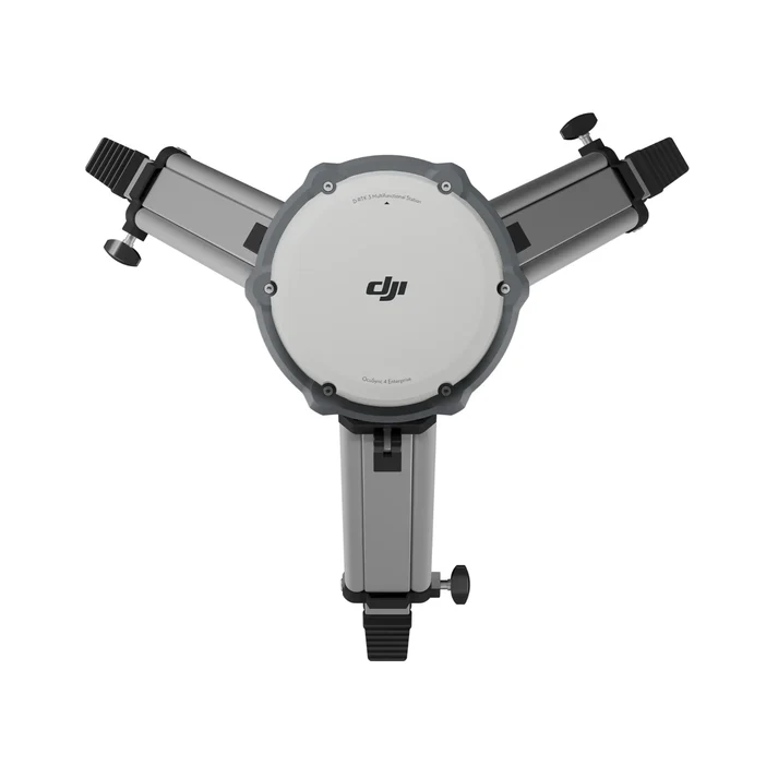
The DJI D-RTK 3 Multifunctional Station is a cutting-edge positioning tool designed for professional drone operators. Equipped with high-performance antennas, GNSS modules, and an inertial measurement unit, it offers unparalleled precision and versatility. Whether used as a base station for centimeter-level positioning, a relay station to extend operational range, or a rover station for aerial surveying, this device empowers your DJI Matrice 4 Series drones to achieve exceptional accuracy and functionality.
Key Features and Benefits
- Unmatched Precision: Delivers centimeter-level accuracy in base station mode for professional-grade results.
- Versatile Modes:
- Base Station Mode: Provides high-precision positioning for multiple drones at once.
- Relay Station Mode: Extends drone range up to 15 km (FCC standard), ideal for large-scale missions.
- Rover Station Mode: Integrates with DJI ENTERPRISE app and DJI Terra for streamlined surveying workflows.
- Global GNSS Compatibility: Supports GPS, GLONASS, Galileo, BDS, and QZSS systems for robust performance in diverse environments.
- Integrated Inertial Measurement Unit: Ensures accurate orientation and positioning even under intense vibrations or rotations.
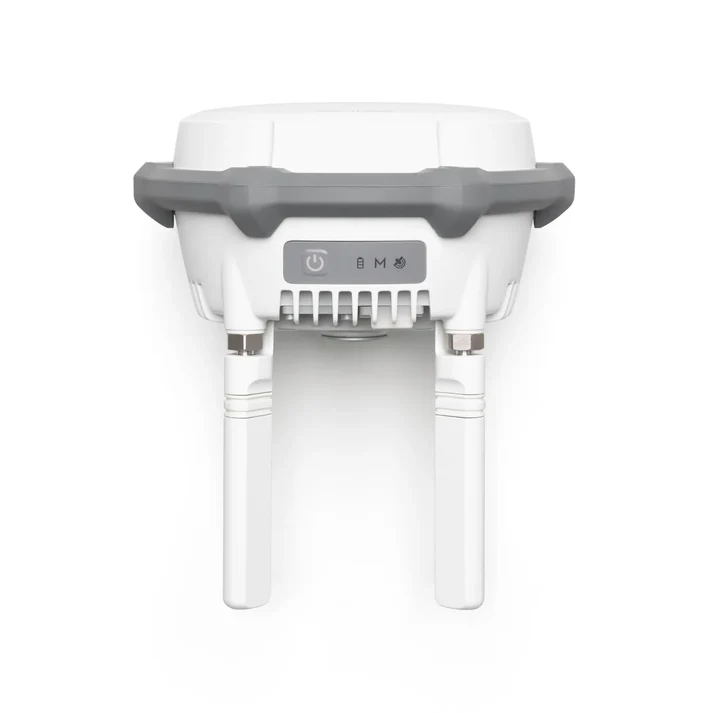
- Rugged and Reliable: IP67-rated construction resists water and dust, suitable for challenging outdoor environments.
- Compact and Lightweight: Weighs only 1.26 kg for easy portability and deployment.
Applications Across Industries
The DJI D-RTK 3 Multifunctional Station is essential for:
- Surveying and Mapping: Deliver high-accuracy geospatial data with streamlined workflows.
- Agriculture and Land Use: Enable precise field analysis and optimize agricultural practices.
- Infrastructure and Utilities: Conduct detailed inspections of critical assets with confidence.
- Search and Rescue Missions: Extend operational range and improve positioning in emergency scenarios.
Empower your drone operations with the DJI D-RTK 3 Multifunctional Station from Dronefly. Achieve precision, reliability, and seamless integration for every mission.
Specifications
- GNSS Frequency:
- GPS: L1C/A, L2C, L5
- BDS: B1I, B2I, B3I, B1C, B2a, B2b
- Galileo: E1, E5a, E5b, E6
- GLONASS: L1, L2
- QZSS: L1C/A, L2C, L5
- L-Band: Supported
- Rover Station Mode Accuracy:
- Static Measurement:
- Horizontal: 0.8 cm + 1 ppm (RMS)
- Vertical: 1.5 cm + 1 ppm (RMS)
- Tilt Measurement:
- Angle Range: 0° to 60°
- Horizontal: 8 mm + 0.7 mm/° tilt (accuracy <2 cm within 30°)
- Static Measurement:
- Max Transmission Distance (in Relay Station Mode, unobstructed, free of interference):
- FCC: 15 km between the aircraft and the relay station, 1 km between the relay station and the remote controller
- SRRC: 12 km between the aircraft and the relay station, 1 km between the relay station and the remote controller
- CE: 8 km between the aircraft and the relay station, 300 m between the relay station and the remote controller
- Protection Rating: IP67 (station only)
- Diameter: 163 × 89 mm (without OcuSync Directional Antennas)
- Weight: 1.26 kg
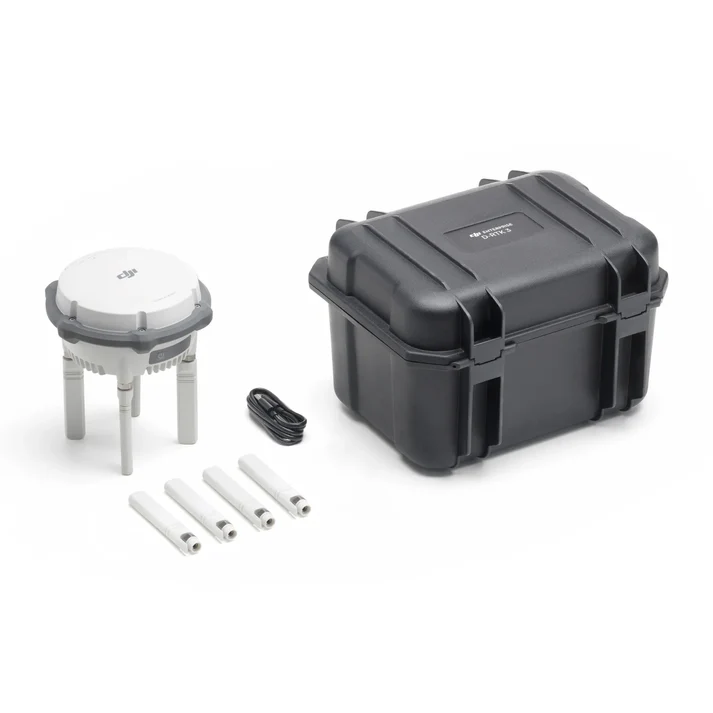
In the Box
- 1x D-RTK 3 Multifunctional Station
- 4x Spare OcuSync Directional Antennas
- 1x USB-A to USB-C Cable